Você está no 3DFinder
Buscamos em Thingiverse, MakerWorld e Printables ao mesmo tempo para te dar o melhor de cada uma.
Descrição
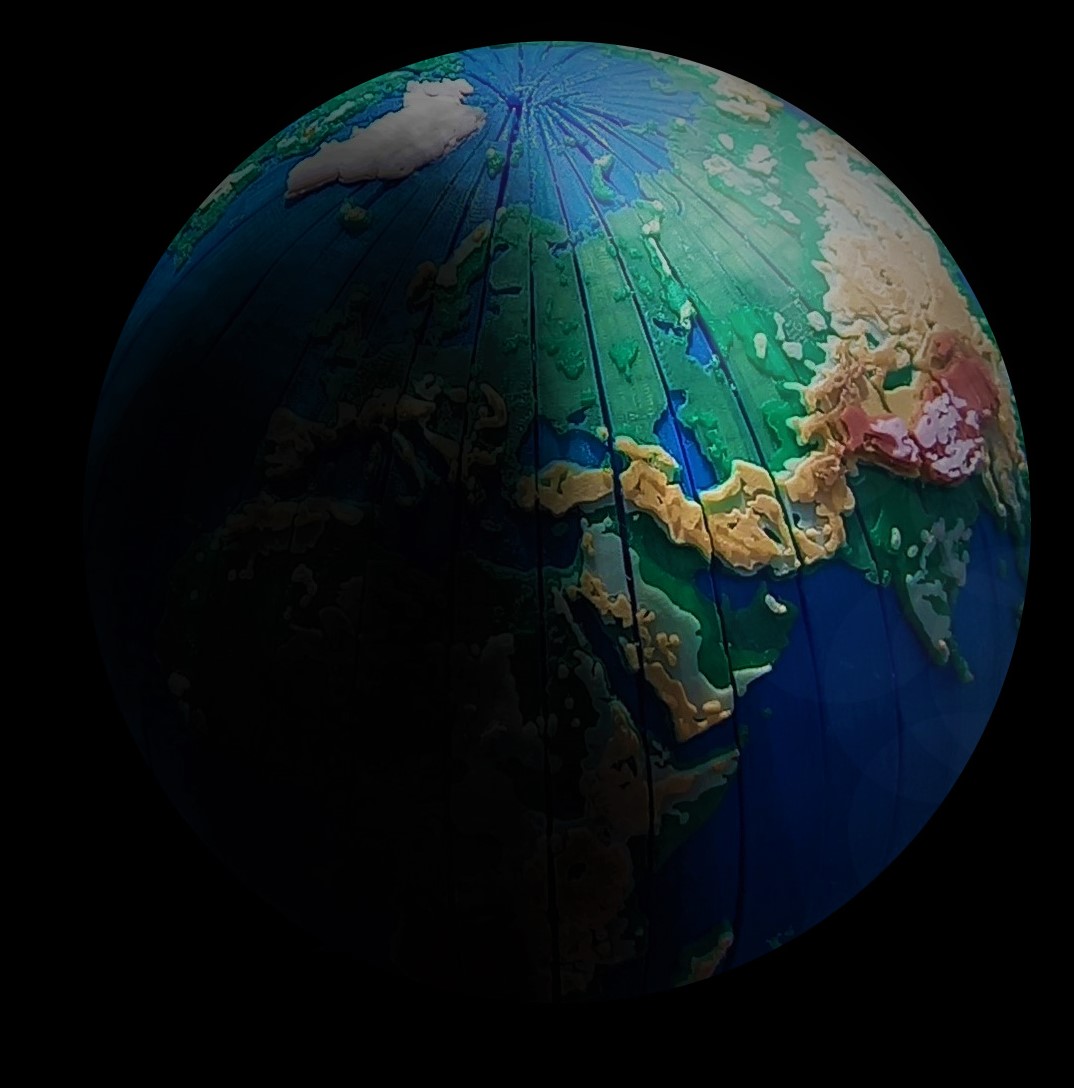
The production was based on the map data of the Geospatial Information Authority of Japan with my own unique adjustments.
Through adjustments I enhanced elevation height than actual data so that you can realize characteristic shape of ground form to understand geographical study.
The colorful model uses 13 different colors of filament!(3D_WorldMap_NoGL.stl & 3D_GreenLand.stl)
<Print Settings>
Top fill pattern:Concentric
437
Curtidas
3,041
Downloads
7
Impressões
Categoria
Other 3D Objects for Learning
Tags
sea
education
map
world
geography
reliefmap
study
topographic
Licença
Creative Commons — Attribution — Noncommercial
Arquivos (3)
3d_WorldMap_v2.stl
25.3 MB
3D_GreenLand.stl
527.7 KB
3D_WorldMap_NoGL_ver3.stl
16.5 MB